Check your lot before you buy in the Riviera Maya
We tell you what to check before you pay: mangroves, protected areas, federal beach zone, forest, ejido land and zoning.
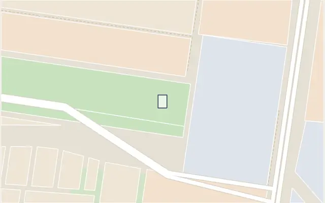 Example
High risk
Restricted zoning: the 2022 urban plan marks this area as a Green Area (AV).
EnvironmentalNo alertsZoningRestrictedPurchaseCheck the title
Land of ejido origin (outside mapped areas)Review
Real result from the engine, Oct 1, 2026. See it on the map
Example
High risk
Restricted zoning: the 2022 urban plan marks this area as a Green Area (AV).
EnvironmentalNo alertsZoningRestrictedPurchaseCheck the title
Land of ejido origin (outside mapped areas)Review
Real result from the engine, Oct 1, 2026. See it on the map
- CONABIO / SMMM
- CONANP
- INEGI
- ESA WorldCover 2021 v200
- Hansen / Universidad de Maryland
- CONAFOR
- SEMARNAT / ZOFEMAT
- SEMARNAT
- Municipios (programas de desarrollo urbano)
- Registro Agrario Nacional
How it works
Locate your lot
Address, Google Maps link, coordinates or UTM. You can also draw the land corner by corner.
We cross it with official sources
CONABIO, CONANP, SEMARNAT, the National Agrarian Registry (RAN), INEGI and each municipality’s urban development plan.
Get the traffic light and next steps
A color with its reason, the three gates (environmental, zoning and purchase), concrete next steps and a printable report.
What it checks on your lot
Mangroves
Current and historical mangroves (CONABIO). Removing or filling them is prohibited.
Protected natural areas
Federal protected areas (CONANP), voluntary reserves and parks: land use follows their management plan.
Federal beach zone (ZOFEMAT)
Federal beach strip and SEMARNAT concessions: it is not private property.
Forest and vegetation
Forest, standing vegetation and clearing: signs you will need an environmental impact study (MIA) or a forest land-use change permit.
Land of ejido origin
How the National Agrarian Registry classifies the land: common use, parcel or urban plot area.
Zoning
What the municipal urban development plan allows: residential, tourist, green area or reserve.
What a map cannot see
This check crosses the same official sources a specialist would review from a desk. What a map cannot confirm (title, boundaries, current permits and what is actually on the land) is verified in the field and in the registries. That is what we do.
Title and ownership review
Registered title, liens, ejido origin and full ownership (dominio pleno).
Environmental permits
Environmental impact study (MIA) with SEMARNAT and forest land-use change (CUSTF).
Bank trust for foreigners
Within 50 km of the coast, foreigners buy through a bank trust (fideicomiso).
Site visit
Checking on the ground what maps cannot see: current vegetation, boundaries and access.
Frequently asked questions
Is it a legal opinion?
No. It is a preliminary, informational check that crosses your location with public maps. It tells you what to check before you pay; it does not replace the environmental impact study, the municipal license or a notary’s title review.
How accurate is it?
It depends on each source: every alert shows its confidence (high, medium or low) and its date. Official maps have margins of error from meters to hundreds of meters, so a lot right next to a boundary should always be confirmed with the official plan or a site visit.
Which areas does it cover?
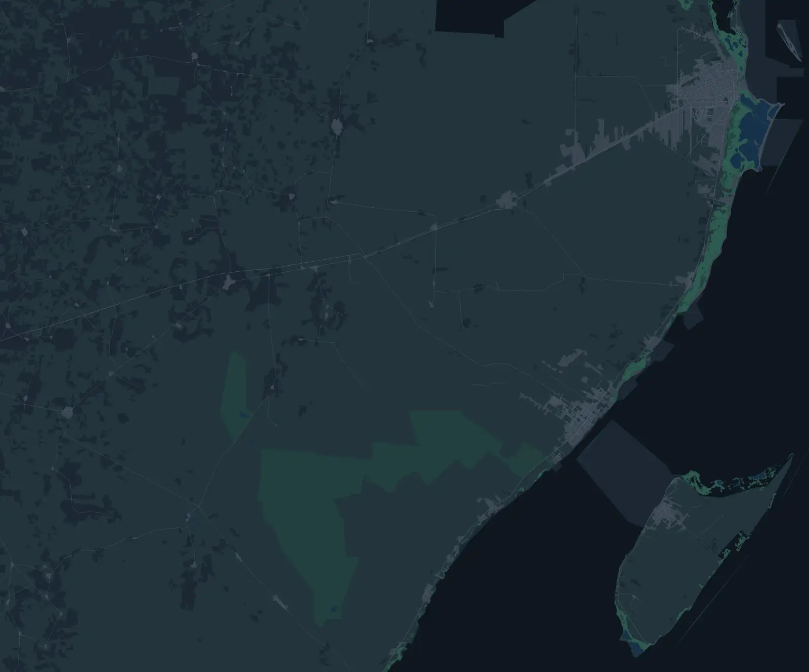
Dry land in Quintana Roo across Cancún, Playa del Carmen, Tulum and the corridor between them (beaches, islands and lagoons included), with partial data for Isla Mujeres and Cozumel. At sea, outside the state or outside that area, the map does not evaluate and says so.
How much does it cost?
The preliminary check is free and needs no sign-up. If you want a specialist to review your case, we tell you the cost first.
Do you store my address?
We do not store what you type in the search box. Only if you ask for the report by email or report an error do we keep the evaluated point or plot.
Does it work if I am a foreigner?
Yes. The check is about the land, not the buyer. In the coastal strip, foreigners buy through a bank trust; that is reviewed separately, as part of the purchase.
Guides
What to know before buying in each area.
- [EN pendiente] How to check land in Tulum before you buy [DRAFT]
[EN pendiente] [DRAFT] What to check on land in Tulum before you pay: forest and environmental permits, federal beach zone, ejido origin, zoning and title.
Check your lot before you pay
It is free and takes a minute. If an alert comes up, we help you solve it.